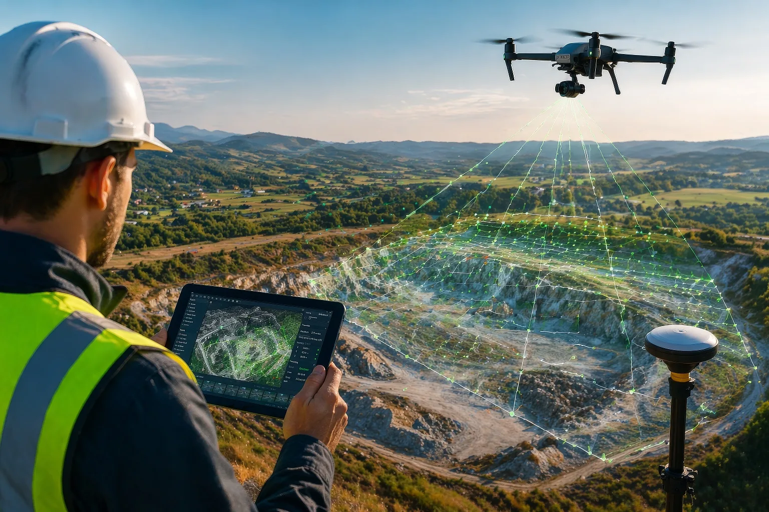
When it comes to drone surveying accuracy, the most common sentence I hear from professionals is, "the drone isn't accurate enough" — when in reality, it's not the drone that's the problem but rather the data collection process during the creation of your digital twin. Many teams invest in expensive equipment only to be disappointed by the results, but the issue almost always comes down to how the flight was planned and executed, not the hardware itself. Understanding a few key principles can make a dramatic difference in the quality of your output and help you achieve the level of drone surveying accuracy your projects demand. Here are six tips to help you achieve pin-point precision with your drone technology:
1Know Your Ground Sampling Distance (GSD)
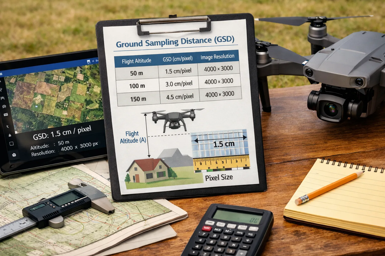
Before you fly, it's crucial to figure out the GSD as this ensures your data is accurate and meets the project requirements. GSD refers to the distance between two consecutive pixel centers measured on the ground — the smaller the GSD, the higher the resolution of your data. Flying at a lower altitude will give you a better GSD, but it also means more flight time and more images to process. Always calculate your required GSD based on the tolerances your project demands before you take off.
2RTK (Real-Time Kinematic)
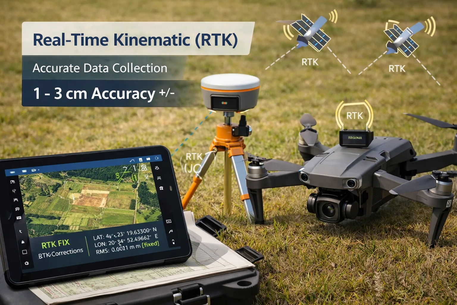
RTK is vital to achieving highly accurate data collection, giving accuracies of 1–3 cm. Unlike standard GPS, which can have errors of several meters, RTK uses a fixed base station to correct satellite signal errors in real time. This technology is especially important on large-scale surveys where even small positional errors can compound into significant inaccuracies across the dataset. If your drone supports RTK, always make sure it's properly configured and that the base station has a clear line of sight.
3Image Overlap
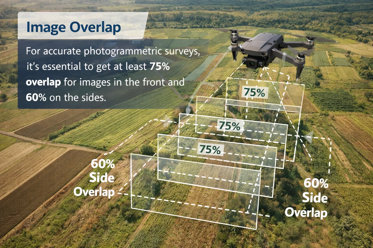
For accurate photogrammetric surveys, it's essential to get at least 75% overlap for images in the front and 60% on the sides. Sufficient overlap gives the photogrammetry software enough common reference points between images to stitch them together accurately and build a reliable 3D model. In areas with flat terrain or repetitive textures — like fields or rooftops — consider increasing overlap even further to avoid reconstruction errors.
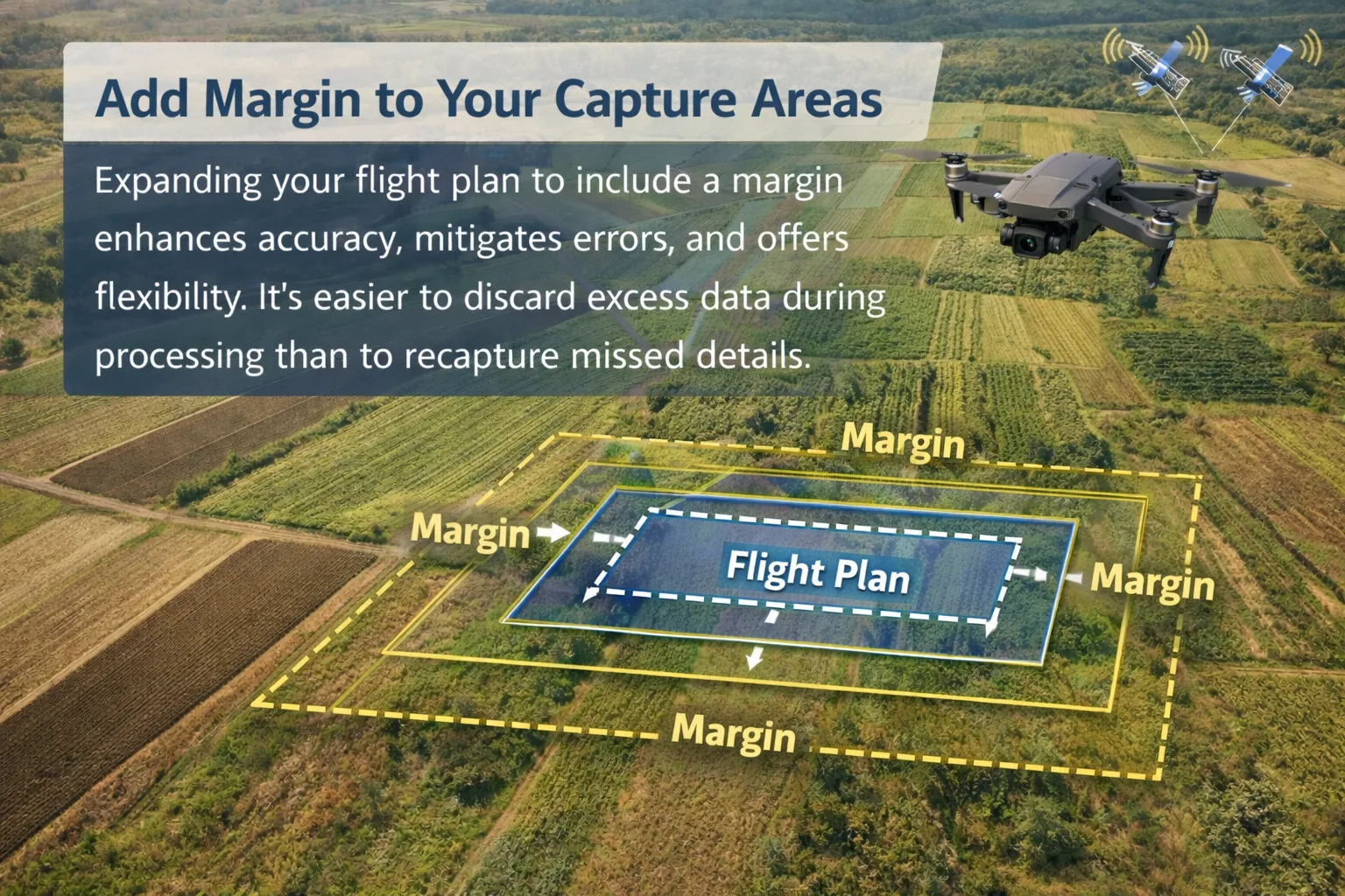
4Add Margin to Your Capture Areas
Expanding your flight plan to include a margin enhances accuracy, mitigates errors, and offers flexibility. It's easier to discard excess data during processing than to recapture missed details. Edge areas of a flight plan often suffer from reduced accuracy due to fewer overlapping images, so adding a buffer of 10–20 meters around your area of interest ensures that your target zone is fully covered with high-quality data.
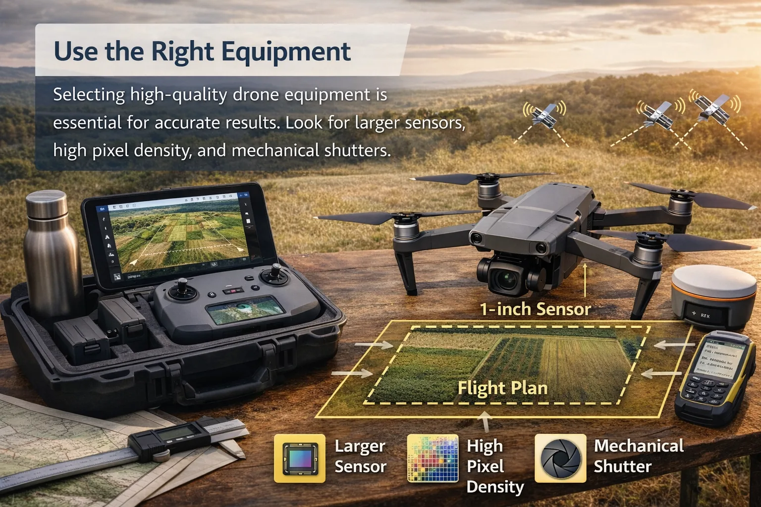
5Use the Right Equipment
Selecting high-quality drone equipment is essential for accurate results. Look for larger sensors, high pixel density, and mechanical shutters. A mechanical shutter eliminates rolling shutter distortion, which can blur fast-moving edges and distort your point cloud. Larger sensors capture more light and detail, which is especially valuable in low-contrast environments.
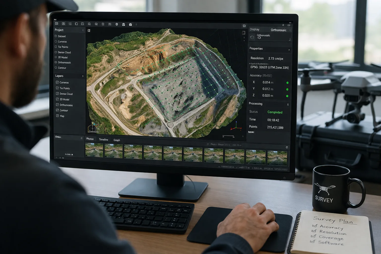
6Choose the Right Software
Software directly impacts data quality and reliability. Consider factors like speed, ease of use, geospatial accuracy, and spatial resolution. Not all photogrammetry platforms handle complex terrain, dense vegetation, or large datasets equally well. Some tools offer better algorithms for point cloud densification, while others excel at generating georeferenced orthomosaics quickly.
If you haven't tried these tips, you may not be getting the most out of your drone. Achieving consistent drone surveying accuracy can be tricky at first, but once you optimize your data collection process — from GSD and RTK to image overlap and software selection — you'll start to see crisp, accurate 3D models that meet even the most demanding project specifications.
Precision isn't just about the hardware in the air; it's about every decision you make before, during, and after the flight.